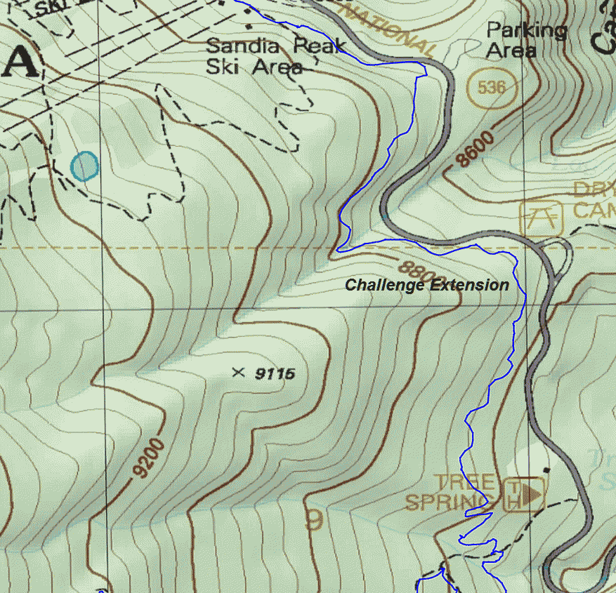
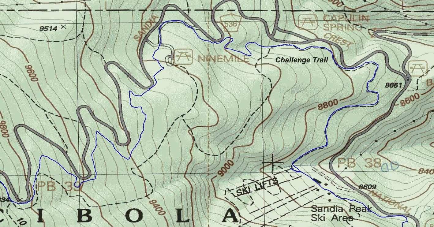
This topo map shows this section.

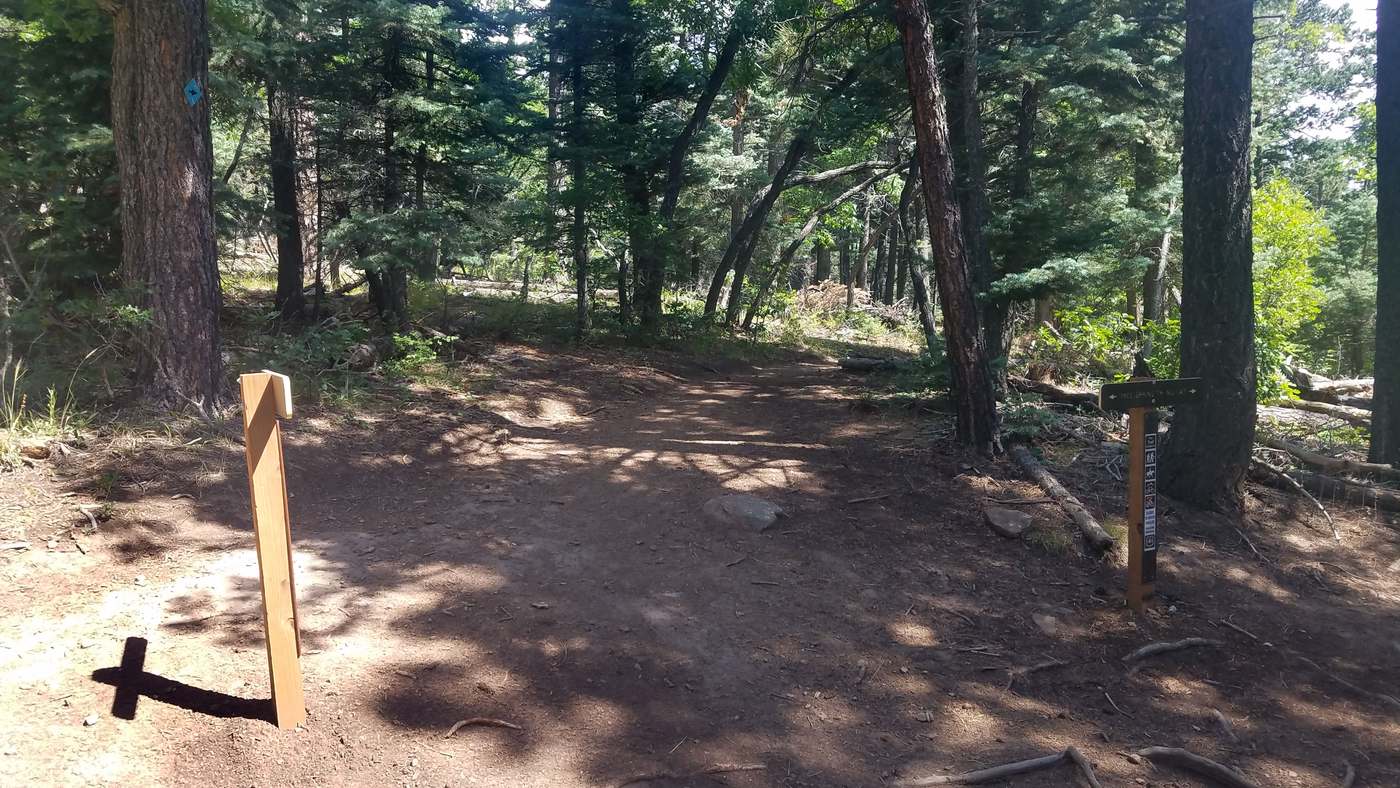
Go on Challenge Trail.
.


.


.

Dry Camp is just across the road. The Tecolote Ridge Trail starts there.

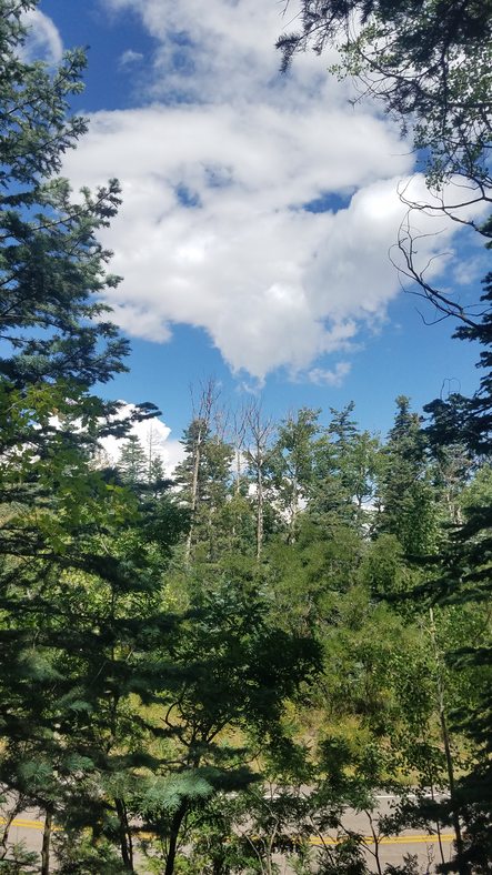
Looking out to the northwest
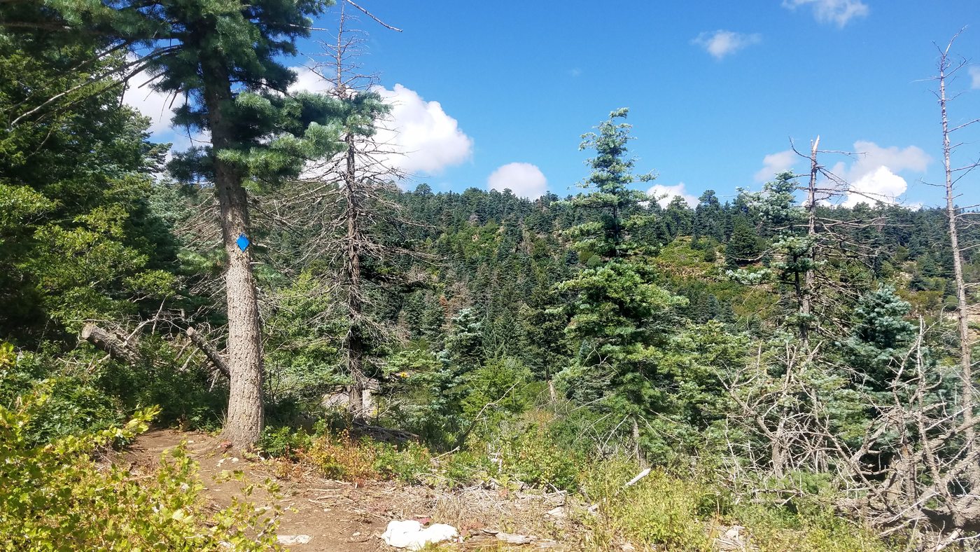
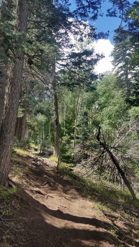
The trail works it's way around the next ridge.

This area was thinned by mastication. It's looking better already.
From Tree Spring Trail Crossing to the Ski Area


Working around the canyon

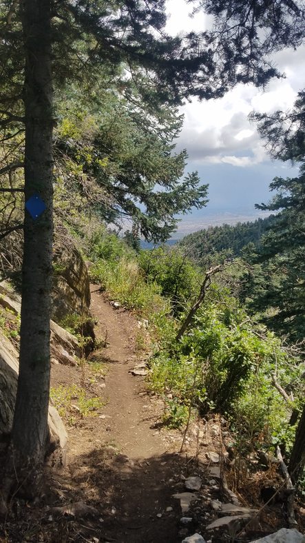
Going through the notch in the cliffs
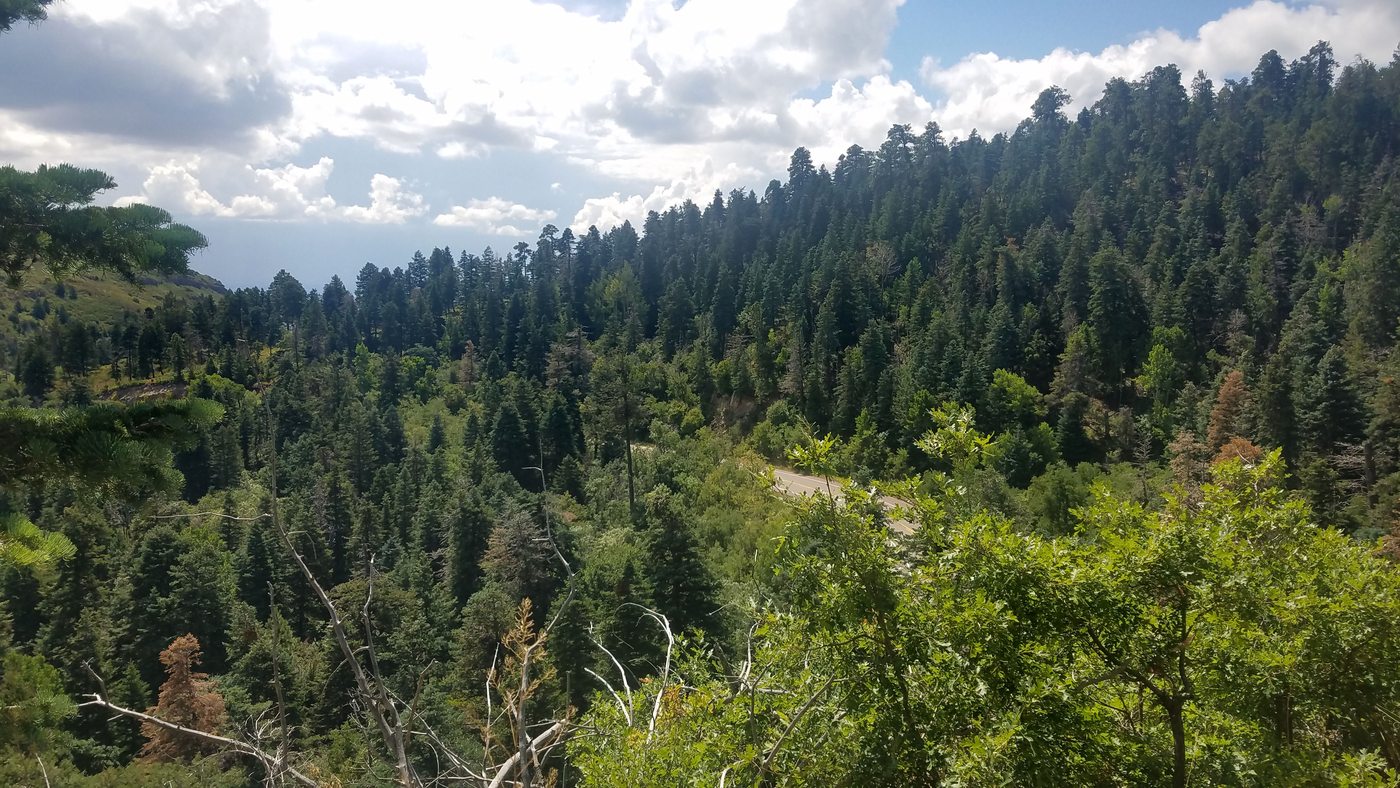
Looking back over the highway - You came through the saddle on the left.
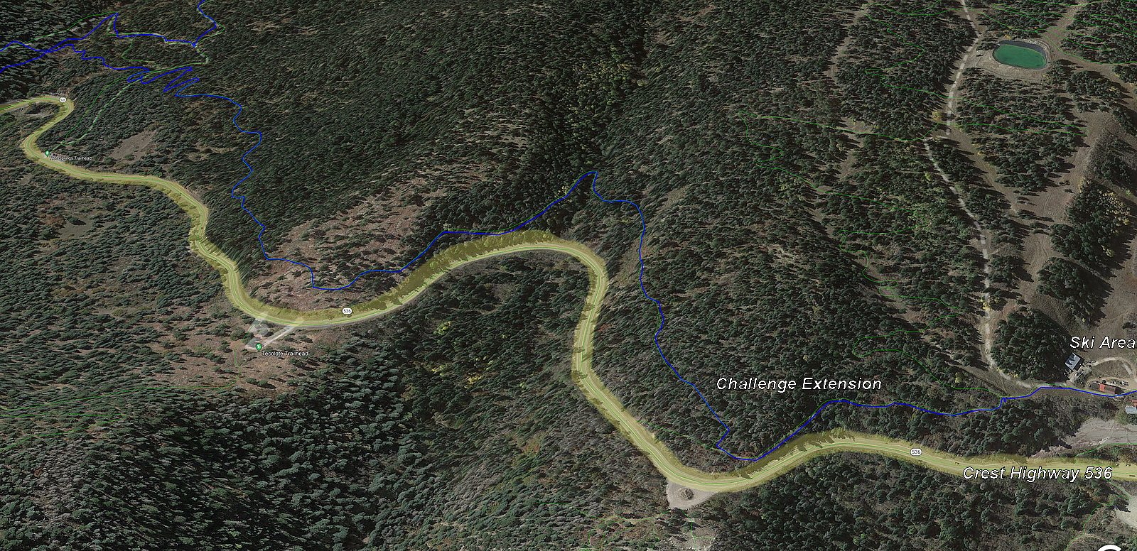
Aerial view from Tree Spring to the ski area from the east

.

Heading toward the ski area on the old Crest Road


Looking back Joining Golden Eagle Trail Heading toward the base of the ski area Go to the right

At the west end of the ski area, go just above the fuel tank. King of the Mountain Trail starts on the left.

The trail levels out for a bit.


.


.
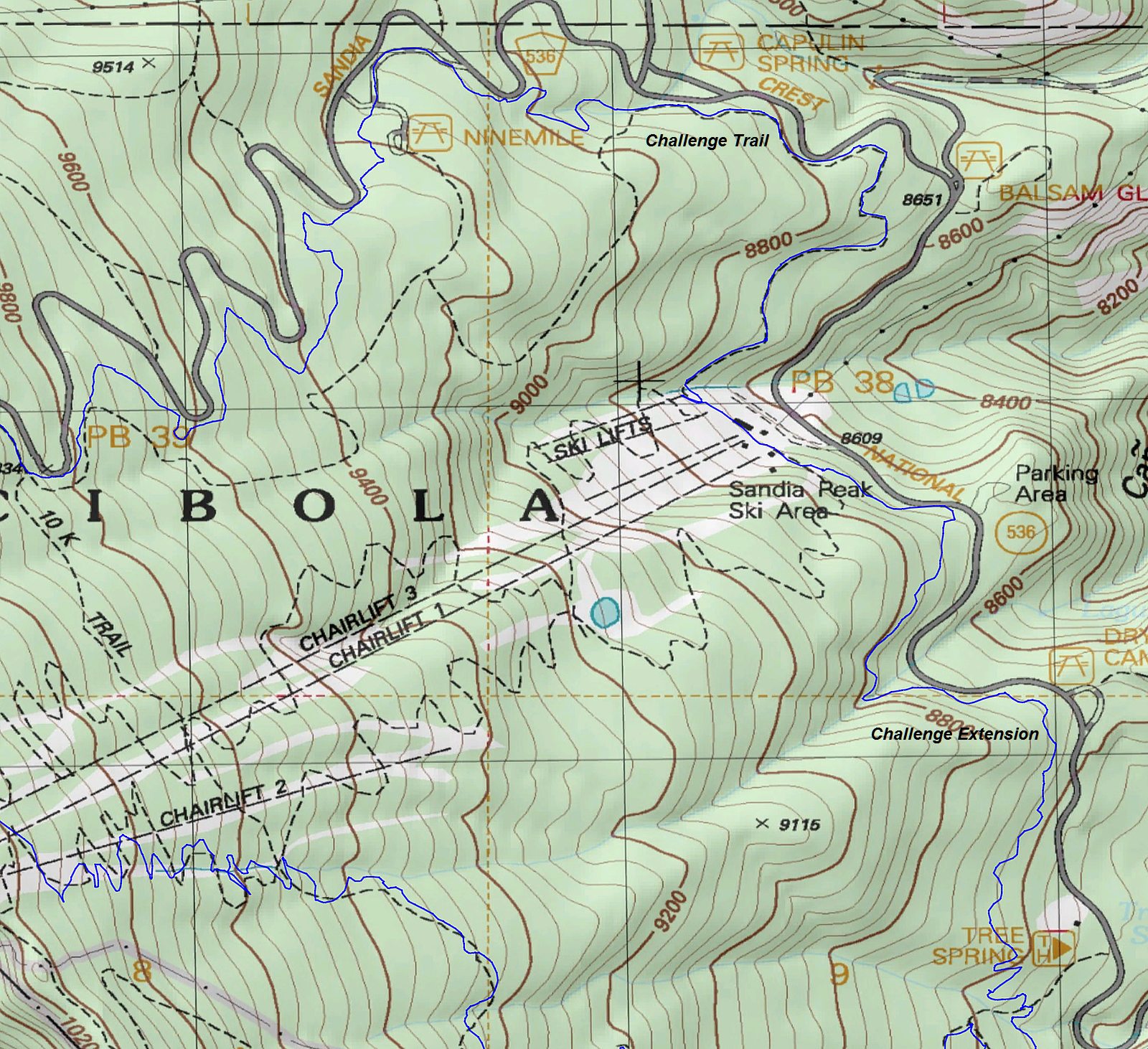
From the Ski Area to the 10K South crossing

Capulin Snow Play Area is just north of here on the other side of the highway.

.
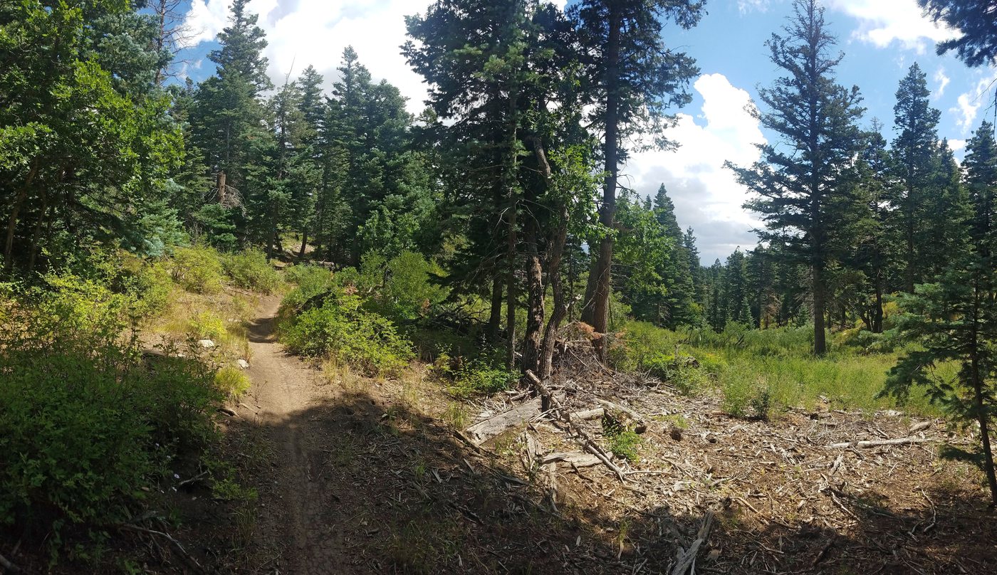
The reroute of the trail here, eliminated a steep climb on the old route.


.

.

Crossing the access road into 9 mile picnic ground
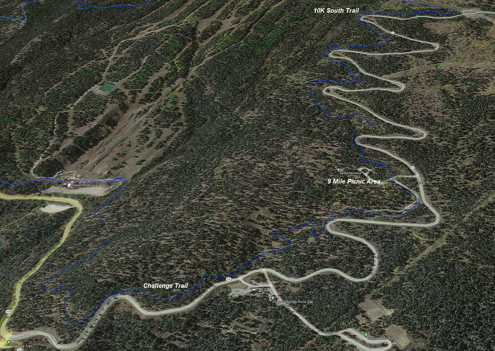
From the Ski Area to the 10K South junction viewed from the north

The highway is just to the right of here. There is a short
connector.
.

This is another reroute that I worked on with Forest Service that came out really well.

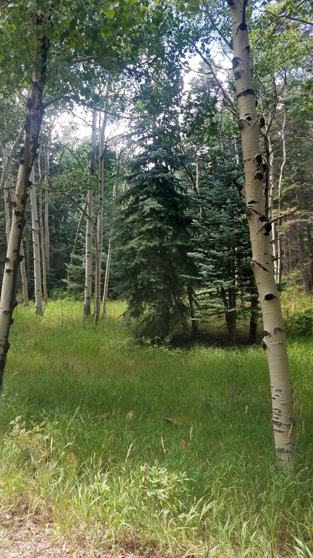
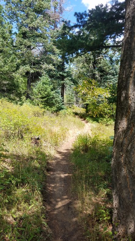
You are getting into the aspens up here as you gain elevation.
 .
.


.


.

.

Challenge Trail parallels the highway. You can access the trail from the road here off of this switchback on the highway.

Coming up to the 10K South junction
Next: From the 10K South Junction to Tree Spring Trail Continue to part C