
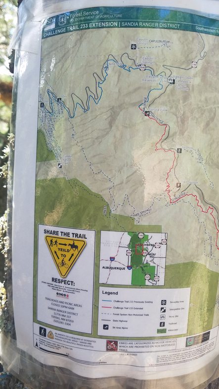
This loop will follow these trails: Sulfur Canyon -
Faulty - Challenge to Ellis across Rocky
Point to Golden Eagle - 10K South -
Tree Spring - Oso Corredor - Challenge - Bill Spring - Doc Long to
Sulfur Connector

Here is the trip as I rode it.

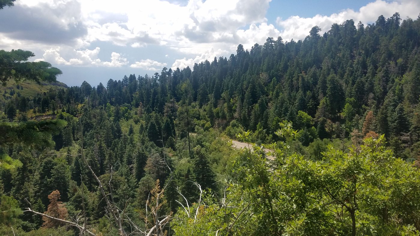
Aerial view from the northeast

If you want to do this trip, this is the route you should follow. To download the gpx tracklog click here.
Under Construction: I will be adding more maps and downloadable kml tracks to this page and break it into smaller segments. (Right now it is ~ 74mb)

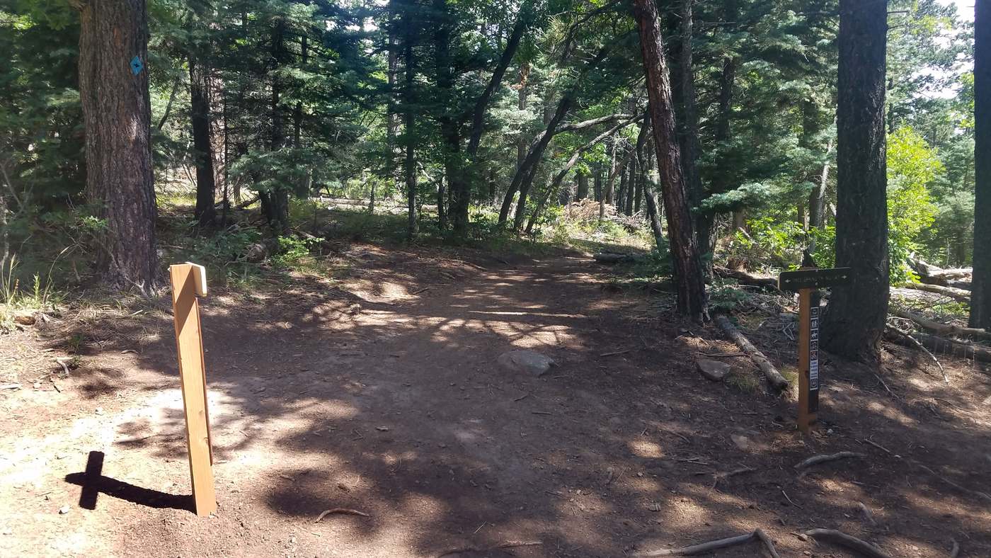
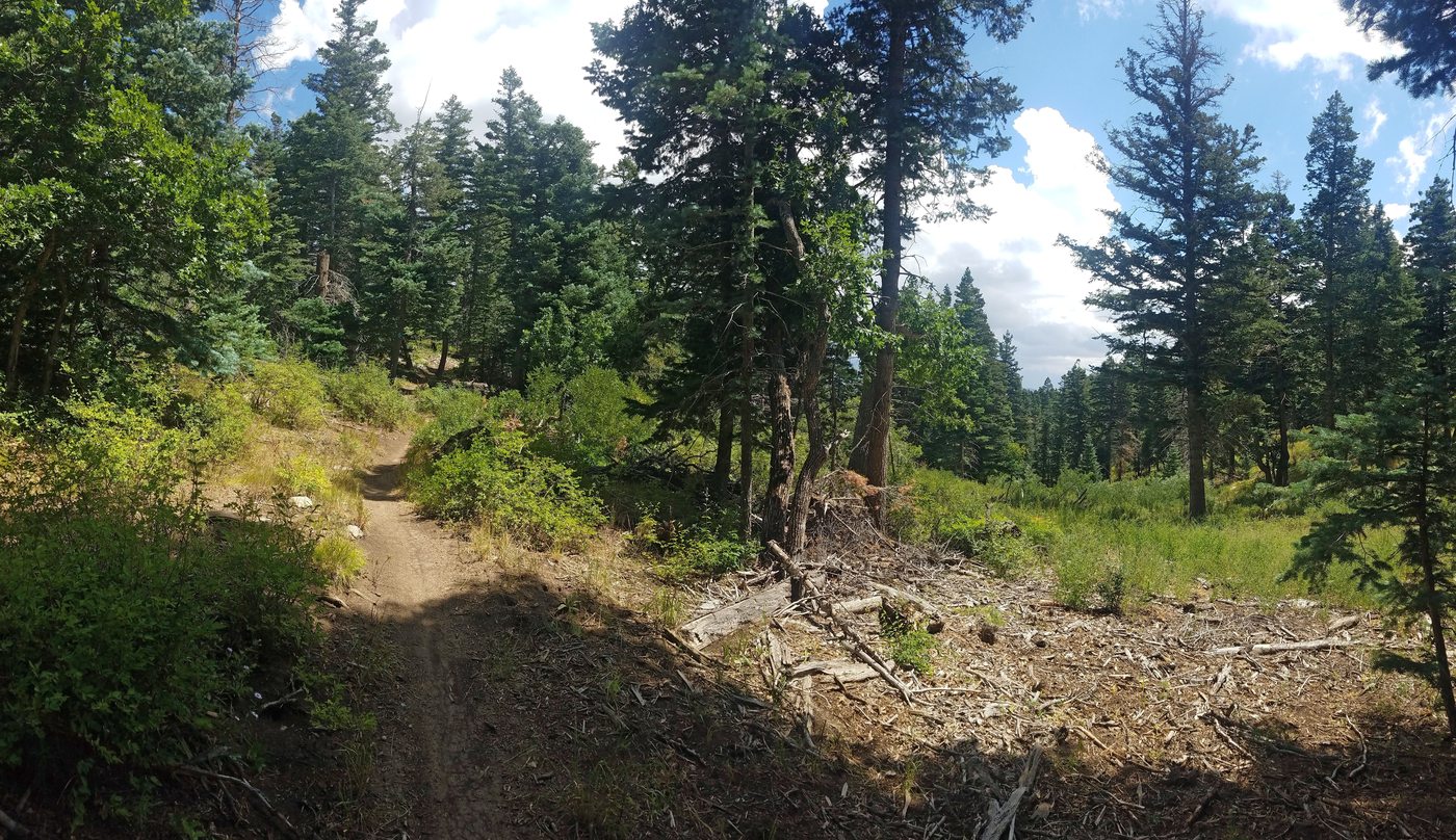
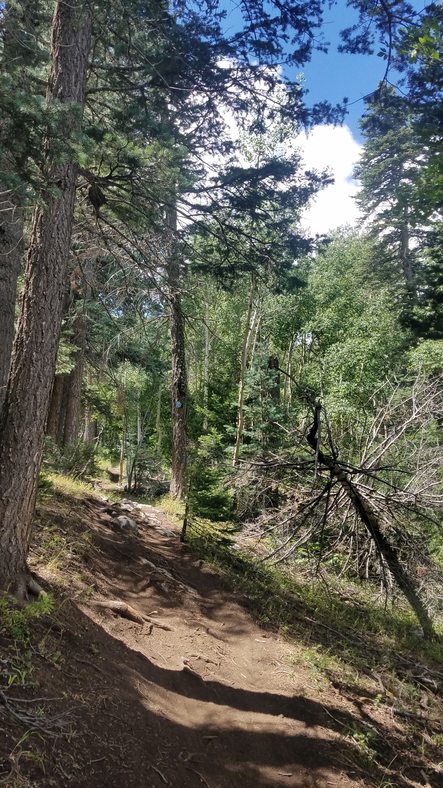
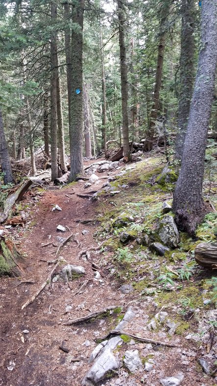
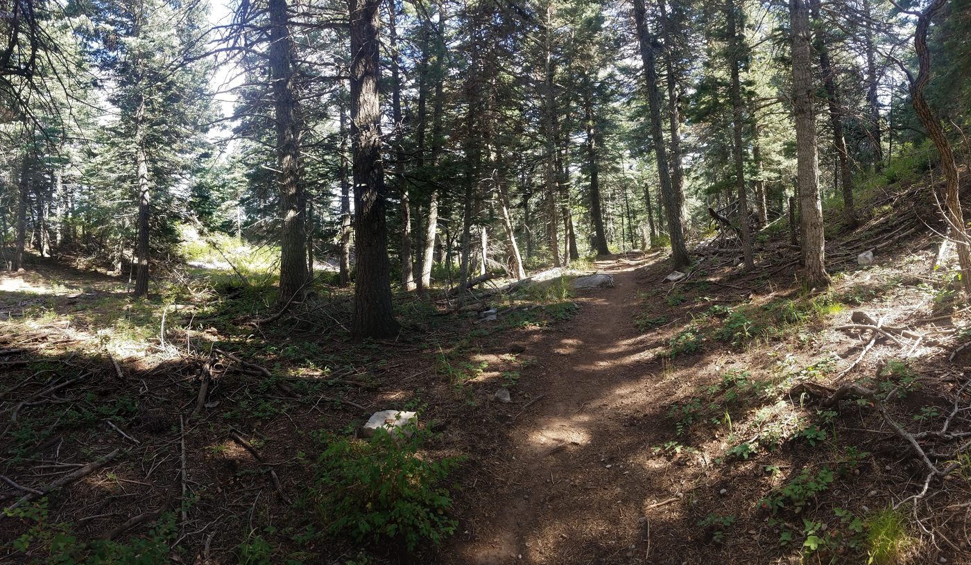
I started this ride at Sulfur Canyon.

This is a pretty canyon with a nice canopy in places.

Watch out for the posion ivy along the trail, especially with
small children or dogs.
The leaves will be red in the fall. Leaves of three leave it be.

Wafer Ash has three leaves, as well. It is harmless. Notice the difference in the stems and the leaves. It grows to be a large tree. These two often grow in the same area.


.

Go to the right here on Faulty Trail.

.

.

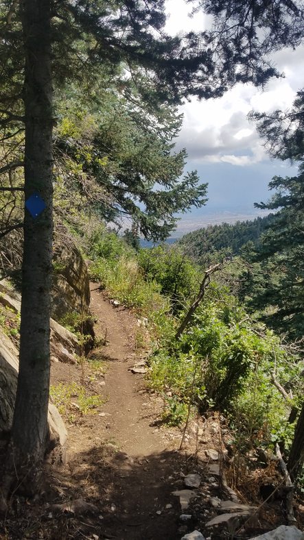
First view to the southeast

Looking back toward the Sandia Crest

Oregon Grape - Do not eat these raw. They area strong purgative.


.

The junction of Faulty, Oso Corredor, Bill Spring Trails and a
short connector to Challenge Trail.
Go straight ahead on it. You will do it again from Oso Corredor on the
return loop.
Go left when you hit an old road, which was the original Crest Road.


Along the road

.

.

You will follow the old road for a while.

.

.

.

This was a quarry when they built the road.

Stay left.

The original road went to the right. It connects to the Crest Highway. Go Left.

Tecolote Ridge. There is a trail on top of it that can be reached from Dry Camp.

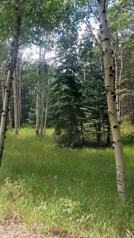
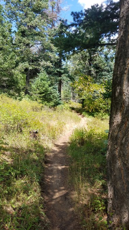
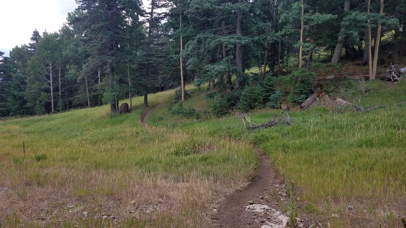
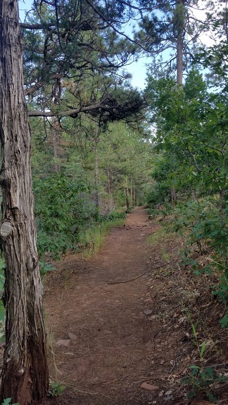
The new trail is pretty nice.

.


.

Horny Toad

.

What a great new trail!

.

Crossing the shortcut trail between the Tree Spring Trailhead and Oso Corredor

.

Crossing Tree Spring Trail
.

.
.


.


.
.

Dry Camp is just across the road. The Tecolote Ridge Trail starts there.

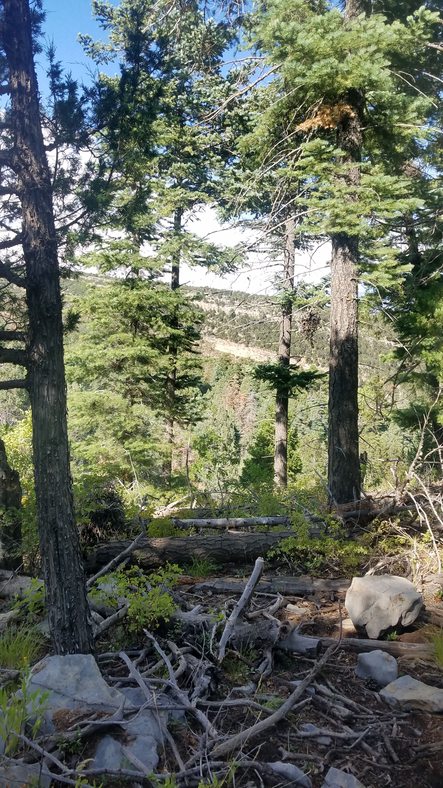
Looking out to the northwest
The trail works it's way around the next ridge.

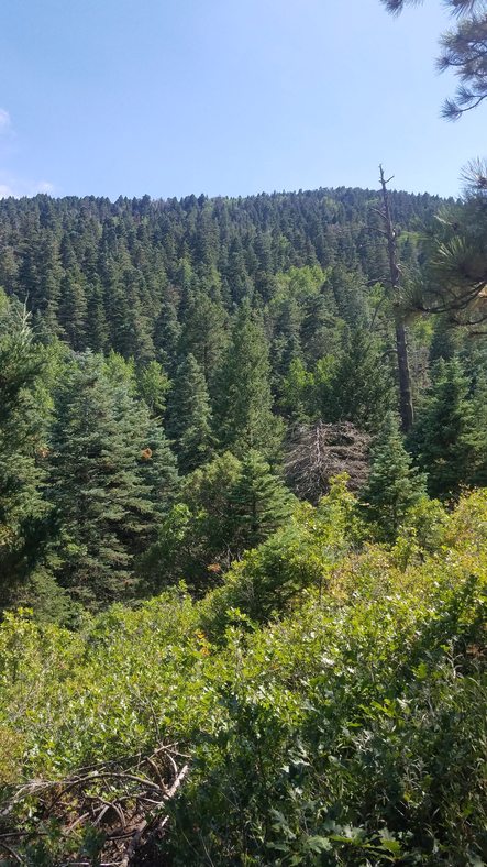
This area was thinned by mastication. It's looking better already.


Working around the canyon

Going through the notch in the cliffs
Looking back over the highway - You came through that notch on the left.

.

Heading toward the ski area on the old Crest Road


.Looking back - Joining Golden Eagle - Heading toward the base of the ski area

At the west end of the ski area, go just above the fuel tank. King of the Mountain is on the left.

.


.


.

Capulin Snow Play Area is just north of here on the other side of the highway.

.
The reroute of the trail here, eliminated a steep climb on the old route.


.

.
.

Crossing the road into 9 mile picnic ground

The highway is just to the right of here. There is a short connector.
.

This is another reroute that came out really well.

.
 .
.


.


.

.

Challenge Trail parallels the highway. You can access the trail from the road here off of this switchback.
.

.

Challenge Trail and the 10K South Trail join here. Go to the right.

You'll be at the south end of this trail, later in the ride. If you want a shorter ride, you can go left.


.

Thanks to all the volunteers who keep these trails in such great condition.

The 10K Trailhead is across the highway.

Go to the left.

I went to the left where my bike is. I wanted to check out some new XC ski trails. I would recommend you go to the right.

.

.

.

.

.

.

These trails are great for skiing, but not really suited for mountain biking.


.
 .
.


.


I tied into Rocky Top Trail and went south. Your route will follow it, too.


Rocky Top goes from the Ellis Trailhead to the tram running parallel and below the service road.


.

.
.


Rocky Top is a great trail. There are some technical sections on it.

This trail on the left has been closed. I used to connect to King of the Mountain Trail

The south end of Rocky Point Trail connects with service road to the tram.

The tram and restaurant is just ahead. Go to the left here to drop down to Golden Eagle Trail.

Looking back at the connector to Golden Eagle. King of the Mountain on the right

King of the Mountain Trail going to the tram

Golden Eagle going down. Go this way.

.

You'll descend down the mountain quickly.

Looking toward Sante Fe


.

Nice views down the ski runs
The trail is smooth and flows nicely.

A storm was brewing around me. I felt an urgency to get further down the mountain.

The 10K South junction is in the center of this photo.

There are lots of fun switchbacks.

10K South Trail Go right here. Technical sections on this return route. If you're not up to it, stay on Golden Eagle Trail.

10K South Trail heading back to the north. If you took the shorter route. You'll come out on it.

Golden Eagle going down.


This reroute bypasses the old steep and eroded trail.

Another one

Heading south toward Tree Spring Trail

At the junction looking in each direction.


.


Crest Trail, Tree Spring, and 10K South Trails meet here. Go through here to go to the overlook.
.


I stash my bike at the junction and hike up to the overlook.

I love the old oak trees up here.

The hike up to the overlook and back is only 0.3 miles.

It's well worth it.

Looking north The Crest Trail is up on that ridge.

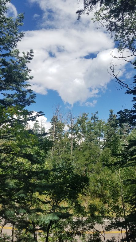
There was a lot of smoke from forest fires.

.

.

Looking south

.

On a clear day you can see over 100 miles.

Some day I'll hike down to those cliffs.

.

.

I hate to leave this spot.


Going down Tree Spring Trail
 .
.

.

The sun highlights the San Pedro and Ortiz Mountains.

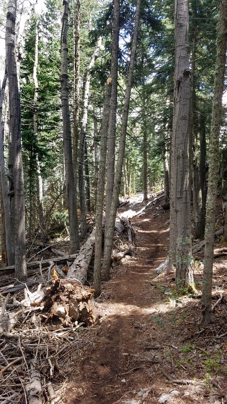
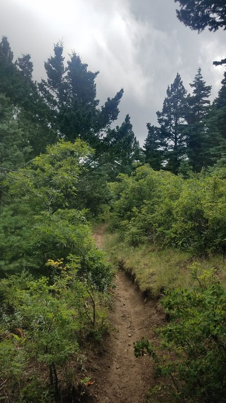
Many sections of Tree Spring Trail are rocky.

The storm was clearing.


Did I mention that Tree Sping Trail is technical? I love it.

I've been riding this trail since 1972. It was on skinny tires and no suspension back then.

Looking back at the crest.

This is probably the most used trail on the east side of the Sandias. I try to avoid using Tree Spring Trail on weekends.

Please be alert for hikers and yeild to them.


.
 .
.

.

.

At the junction of Tree Spring and Oso Corredor Trails go right on Oso Corredor.


Thanks to more volunteers.


.


Osos Corredor Trail has lots of technical sections, too.

The big raspberry patch - no raspberries this year


.


.

Tecolote Ridge


I took lots of photos because I knew you wouldn't want to stop to do it, but like to remember.

.

.


.


.
Back at the junction of Faulty, Oso Corredor, Bill Spring
Trails and a
short connector to Challenge Trail.
Go to the right on the connector to connect to the Challenge Extension.

I went down Bill Spring Trail. I didn't know about the last section of the of the Challenge Extension.

You have to hold your tongue just right going around this corner.


There are some big drops on the Bill Spring Trail, but I didn't get any photos of them.

I was pleasantly surprised to find the new trail. I had to check it out.


.


It was awesome!

.


.


.


.

I went up to here where the connector comes up and turned around. You will come out here and go to the right.
.


.

I was totally enamored with this loop.


Heading down Bill Spring Trail


.

.


.

This is where the North Faulty Trail crosses.

.

Bill Spring


You will ride by the Doc Long Picnic area.

Take this trail on the right to get back to Sulfur Trailhead.
.

Looking back as you approach the Sulfur Picnic area.
My trip was about 22 miles with 5800 feet of climb.
I will definitely be doing this loop again.
I hope you enjoy it as much as I did.
back to Photo Gallery - Albuquerque Area