Zuni Mountains
A Preview
The Zuni Mountains cover a
vast area between
Grants and McGaffey, New Mexico, south of I40.

This district of the Cibola National Forest covers
12
topographic maps between I40 and Highway 53.
I explored and mapped the east half for 44 days.
I had a contract through the National Park Service in
partnership with the Zuni Mountain Trail partners to
lay out a non-motorized trail network.
We submitted 328 miles of trail for NEPA approval.
Many miles have already been built with more in progress.

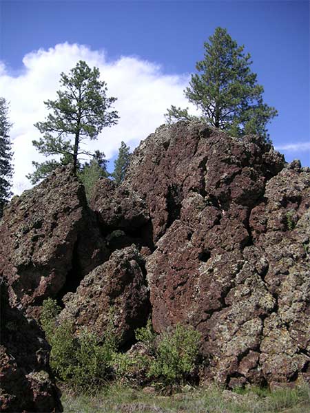
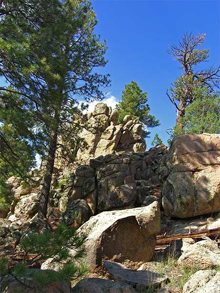
One of the proposed trail goes through cap rock like this
for 9 miles from Bluewater Creek to Bluewater Mesa.
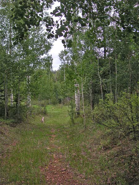
Some areas have aspen trees. Most have ponderosa trees.

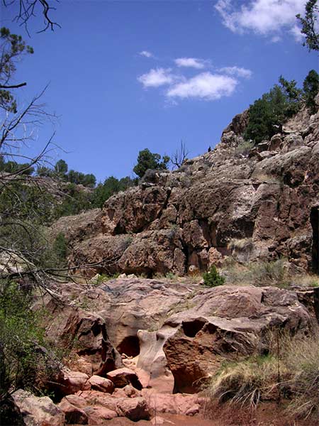
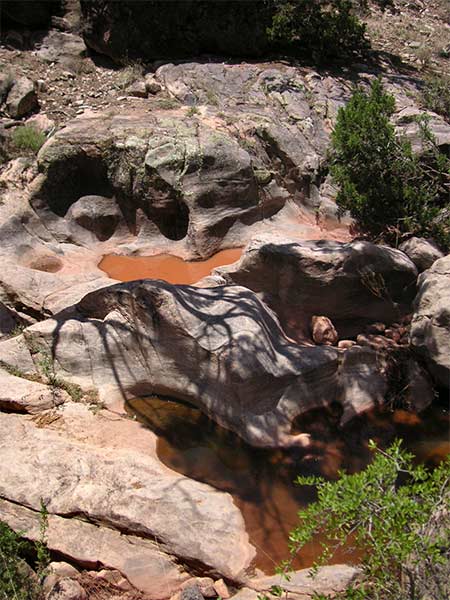
There are trails that flow through sandstone like this

and this.
Rotate your phone for landscape view.
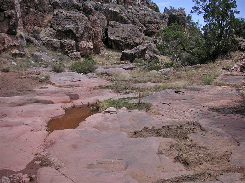
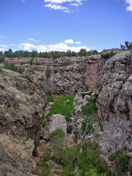
Some canyons have caprock sections like this.
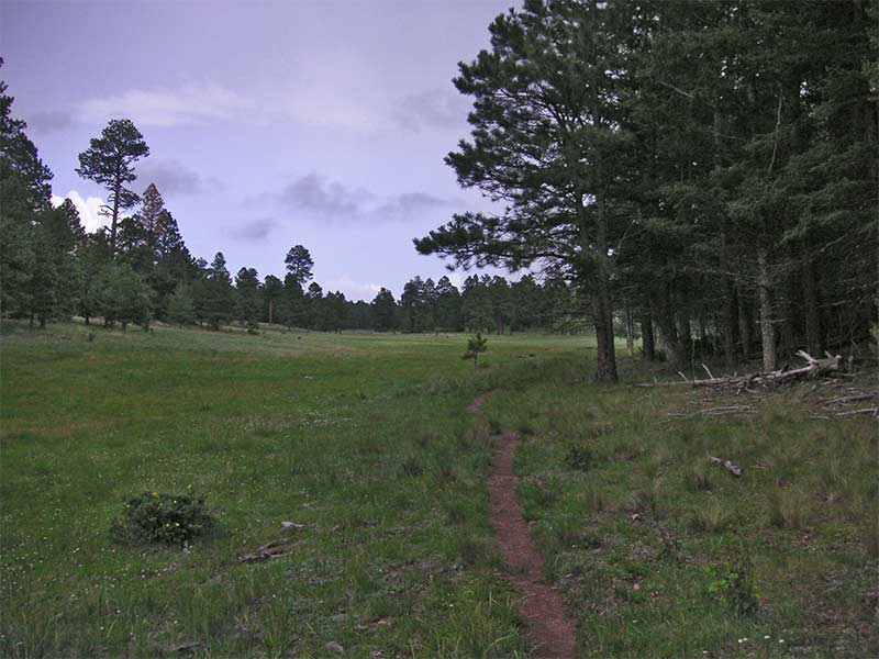
There are lots of meadows.
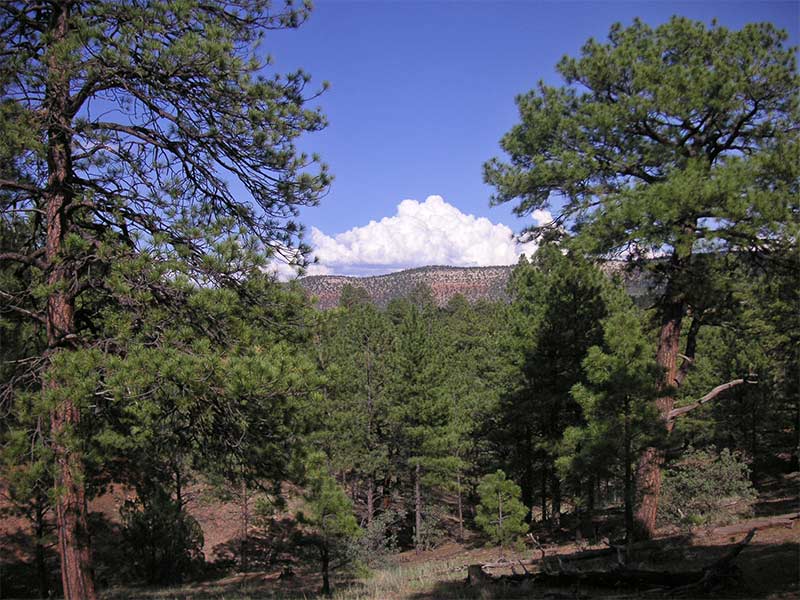
Great views

It's very peaceful and you rarely see anybody.
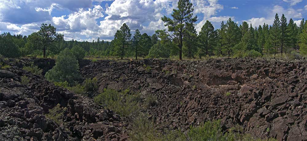
This area is volcanic and there are lava tubes in places.

I'll add more pages for this area when I can.
If there is any part of this forest, east of Cottonwood Canyon that
you want to know about, email me.
back to Zuni
Mountains Photo Gallery
Back to Photo Gallery