


Once you leave the Open Space, you will be in trees much of the way. You start in the pinon,juniper zone and will progress through ponderosa pines and finally spruce and fir. There are a few aspens in one area and you will see Wafer Ash.
Gamble's Oak is prevelant the whole way and gets very thick near the top of the mountain. You'll also see manzanita, apache plume, fenndler bush, snowberry and other brush.
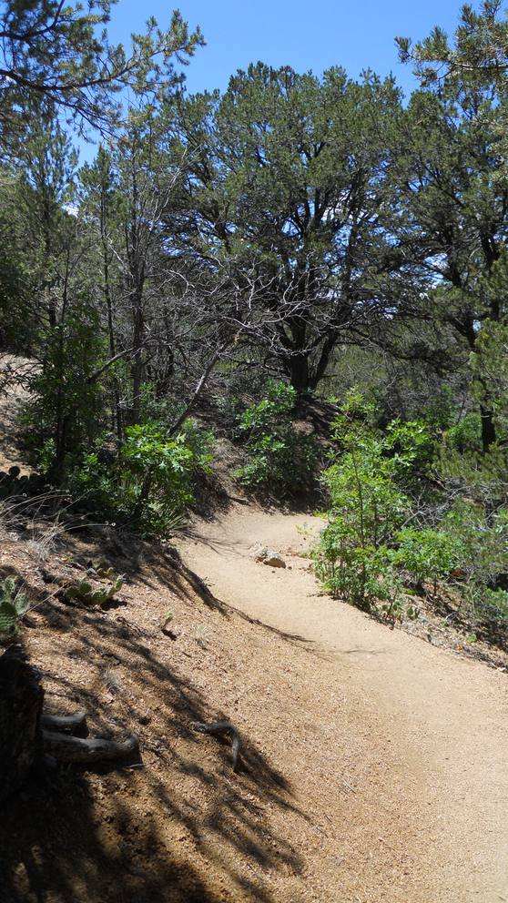
The trail is wide at the bottom , but narrows down the further you get up the mountain. Most of the trail is fairly smooth, but you do want shoes with good traction. The decomposed granite surface can be slippery.


 Scarlet
Penstemon
Scarlet
Penstemon

 The trail levels out
for a bit.
The trail levels out
for a bit.

 PinoTrail
meets the Crest Trail #130
PinoTrail
meets the Crest Trail #130 A few feet south
is Cienega Trail
A few feet south
is Cienega Trail On the way back down


 small grove of
aspens
small grove of
aspens


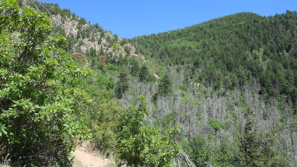
 The crestline north
of Tree Springs Trail
The crestline north
of Tree Springs Trail


